|
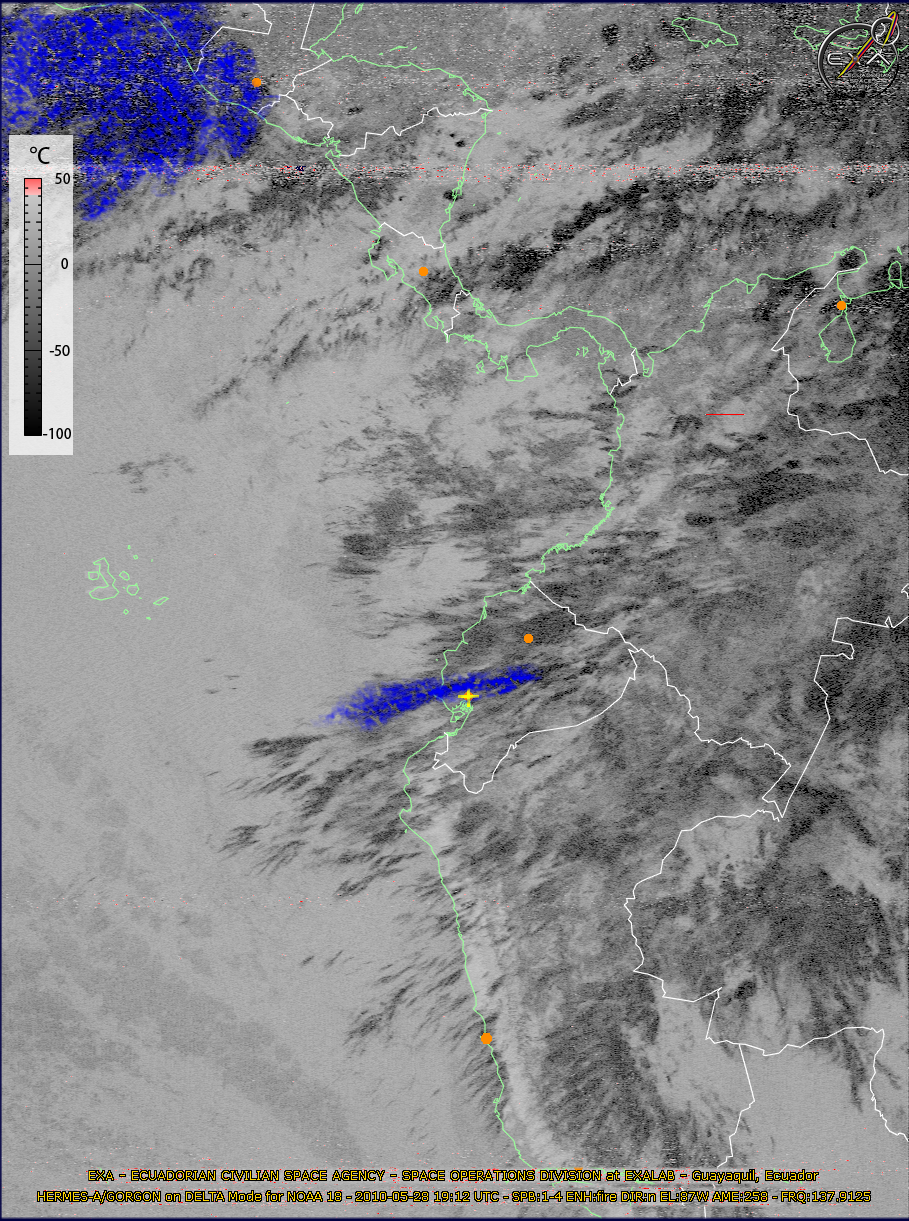
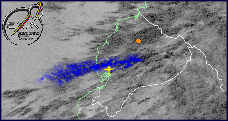
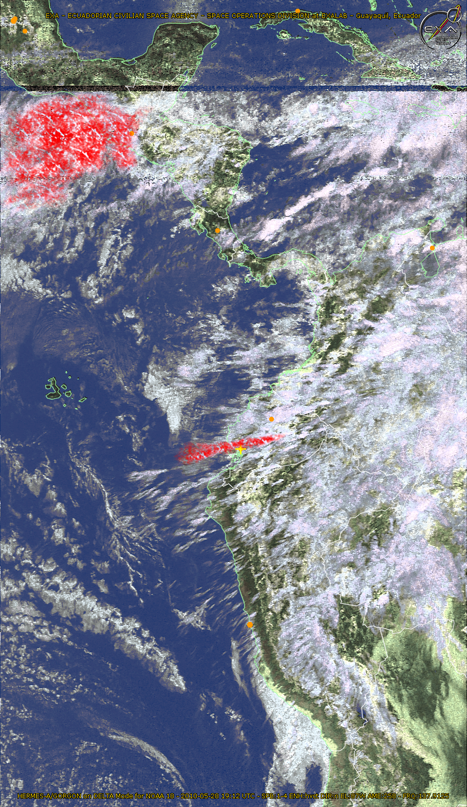
ASH CLOUD FROM TUNGURAHUA VOLCANO WASHES EQUATORIAL COASTAL REGION Guayaquil, May 28, 2010.- On May 28, the Planetary Sciences Division (PSD) of the Ecuadorian Civilian Space Agency (EXA), using the HERMES-A/MINOTAUR ground station captured far infrared images form NOAA-18 satellite and after processing the images, noticed that they show a large ash cloud emanating from Tungurahua volcano actually erupting once again. In the image below, for May 28, 14h12 local time, processed by the PSD-EXA the coordinates were georeferenced by the satellite and show the partial image where the blue color marks the ash cloud in expansion from the volcano location in the equatorial Andean region also a large ash cloud from the Pacaya volcano in Guatemala can be seen.
EXA/18 - BP-34 / BP-E-018-052810 |